
Experience your architectural, engineering, and construction projects like never before with GEAAR, the revolutionary platform that brings the power of geospatial technology to your fingertips.
“An incredible outcome and more than we could ever have imagined.”
Elisa Llarda, Operations Manager / Project Lead, Western Health
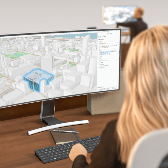
GEAAR combines the strengths of Google’s Geospatial API and Unity Maps for ArcGIS, offering:
Geospatial Precision, Global Reach
GEAAR combines the strengths of Google’s Geospatial API and Unity Maps for ArcGIS, offering:
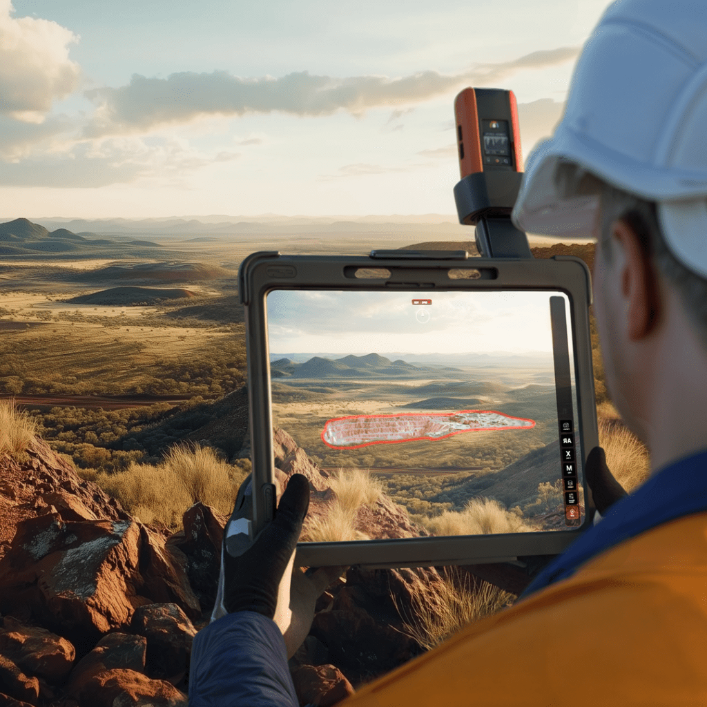
How GEAAR Works:
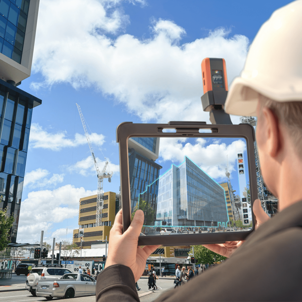
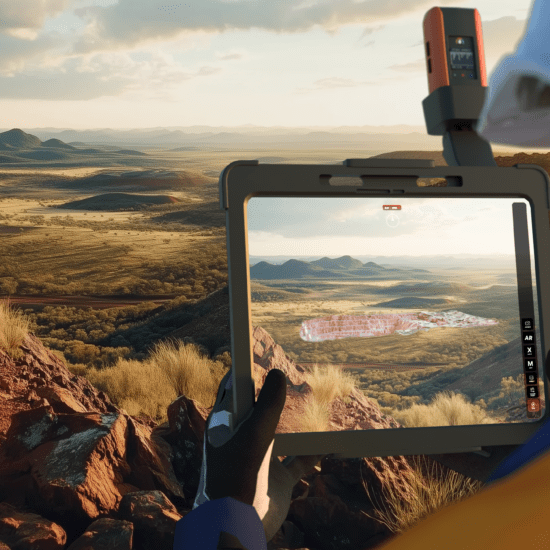
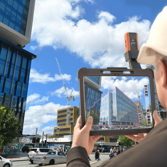
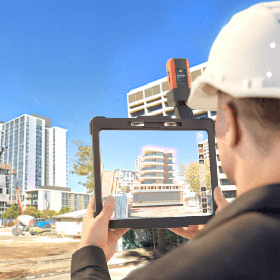
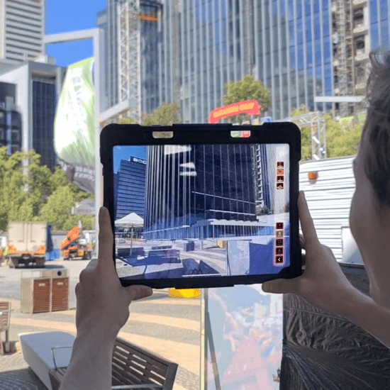
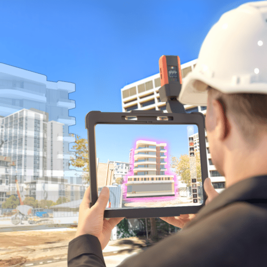
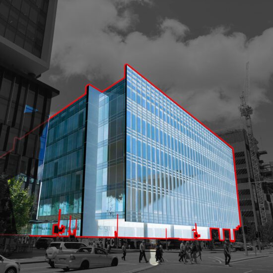
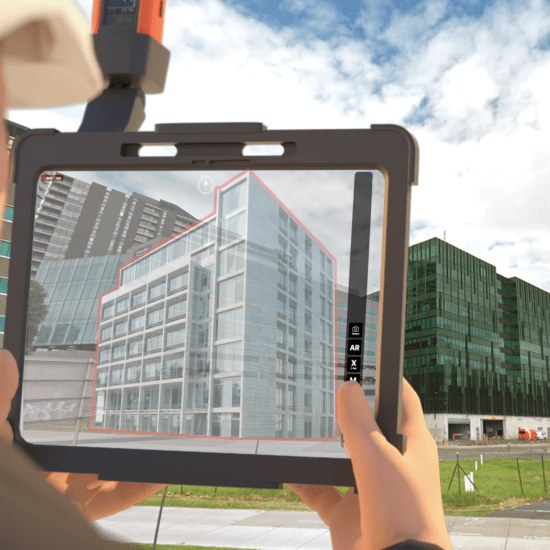
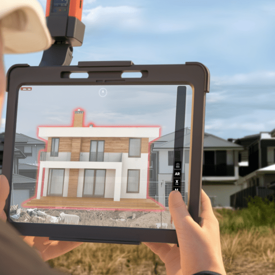
GEAAR leverages the magic of augmented reality (AR) to seamlessly integrate your 3D models with the real-world environment. This allows you to:
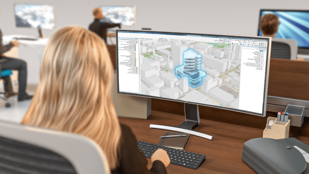
How GEAAR Works:
GEAAR leverages the magic of augmented reality (AR) to seamlessly integrate your 3D models with the real-world environment. This allows you to:
Who GEAAR is Designed For:
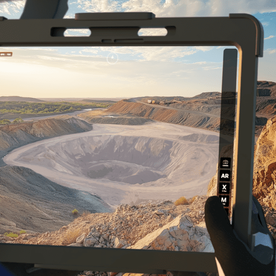
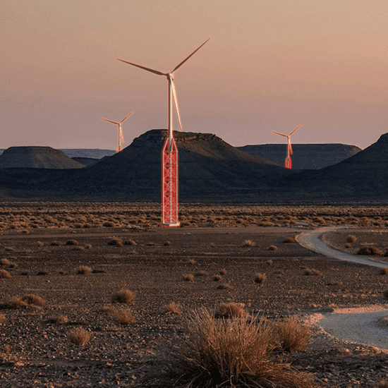
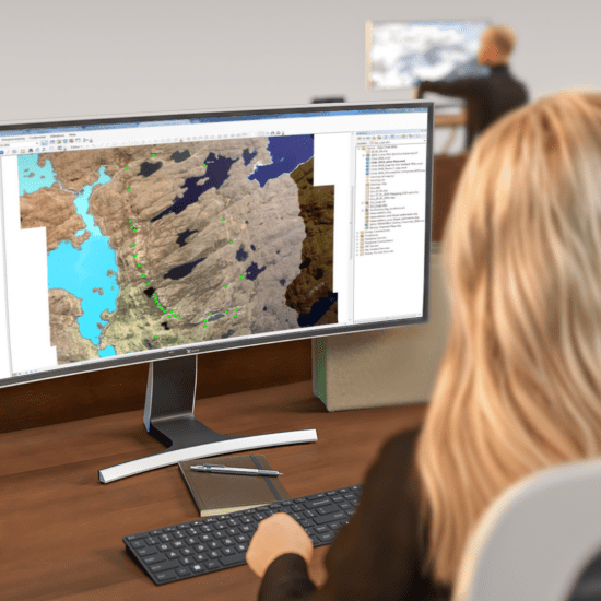
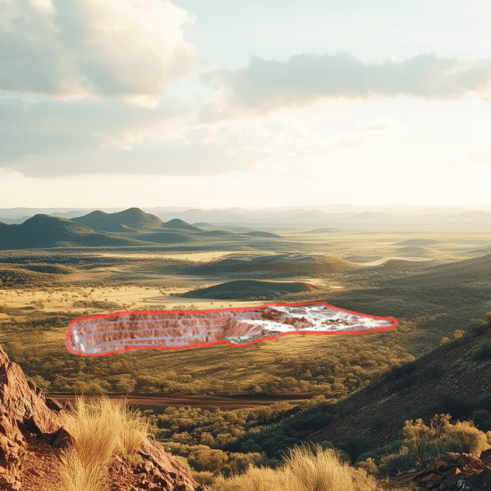
Mining and Energy: GEAAR facilitates Traditional Owner Engagement and community consultations by enabling stakeholders to visualise the impact of proposed mine sites on the landscape, fostering understanding and collaboration.
Who GEAAR is Designed For:
Mining and Energy: GEAAR facilitates Traditional Owner Engagement and community consultations by enabling stakeholders to visualise the impact of proposed mine sites on the landscape, fostering understanding and collaboration.
