

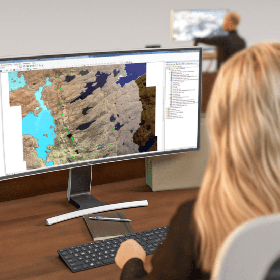

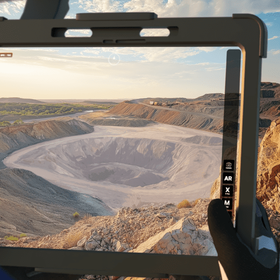


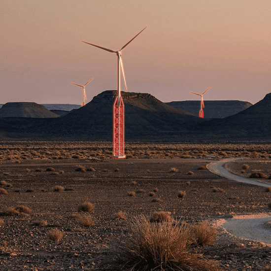


In the dynamic sectors of mining, infrastructure development, and beyond, the capacity to articulate intricate plans and designs with clarity is not merely advantageous – it is fundamental to project success and stakeholder trust. Many organisations grapple with the inherent challenge of conveying complex engineering details in a manner readily comprehensible to diverse audiences, particularly those without specialised technical expertise. Imagine the difficulty of illustrating the vast scope and potential impact of a significant undertaking using only conventional maps and technical terminology – a scenario ripe for misinterpretation and potential project delays.
This communication hurdle can have tangible consequences, particularly in crucial consultation processes with stakeholders, including traditional landowners or local communities. These consultations are often a critical prerequisite, demanding precision and clarity to secure necessary approvals and foster positive relationships. Traditional methods employed for this purpose can often be time-intensive and financially burdensome. The process of achieving alignment and approval on a designated area can, in some instances, extend over considerable periods. A significant contributing factor to these extended timelines is the imperative for absolute accuracy and clarity in the information presented.